- Character
- Coastal paths, cliffs, fields and villages
- Longest route
- Coastal walk around the island, about 55 km
- Day hikes
- From 30 minutes to a full day
- Heat
- In summer start early, bring lots of water
What to expect
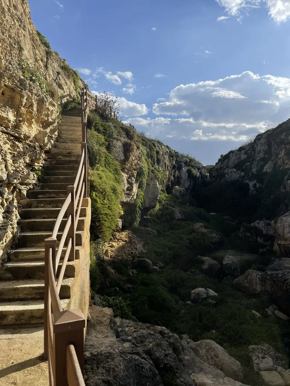
Gozo is hilly and compact. Hiking here mostly means coastal paths along the cliffs, tracks across fields and walks from village to village. Distances are short, but the terrain is often rocky and shadeless, and paths are not well marked everywhere. Planning with a map app pays off; many hikers use Komoot or similar apps.
The coastal walk around the island
Walkopedia describes the Gozo Coastal Walk as a route of about 55 kilometres that runs as close to the coast as practical around the whole island. It recommends spreading it over at least five days, with rest days. If you have less time, choose single sections and return by bus or taxi.
Guided hike or a place to stay
Guides save you route planning, the right accommodation saves you distances.
You see the live price and availability with the provider. Many offers can be cancelled for free – check this in the offer itself.
Xlendi to the Sanap Cliffs
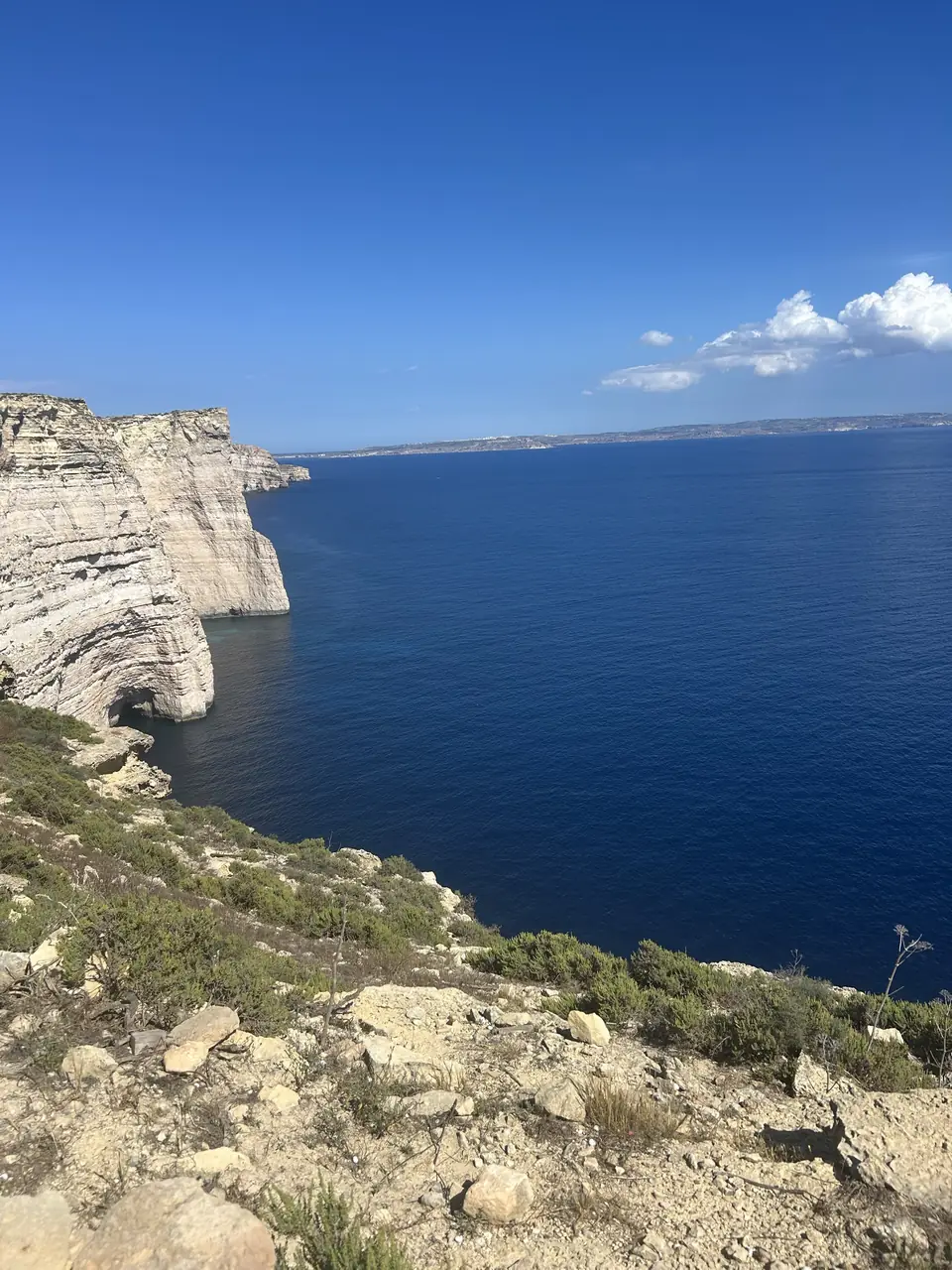
Travel sites name the out-and-back hike from Xlendi to the Sanap Cliffs along the Munxar-Xlendi Heritage Trail as one of the island's best coastal walks. On the way you pass Xlendi Tower and steps down to small caves. The cliffs in the south-west, such as at Ta' Ċenċ, offer wide views of the sea; keep away from the edges.
Mġarr to Hondoq and Wied il-Għasri to Xwejni
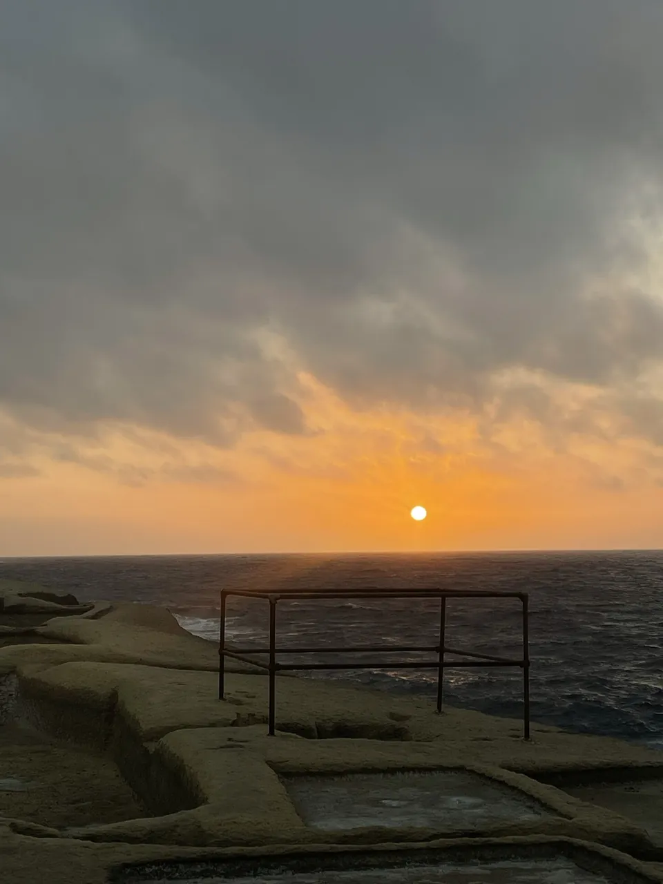
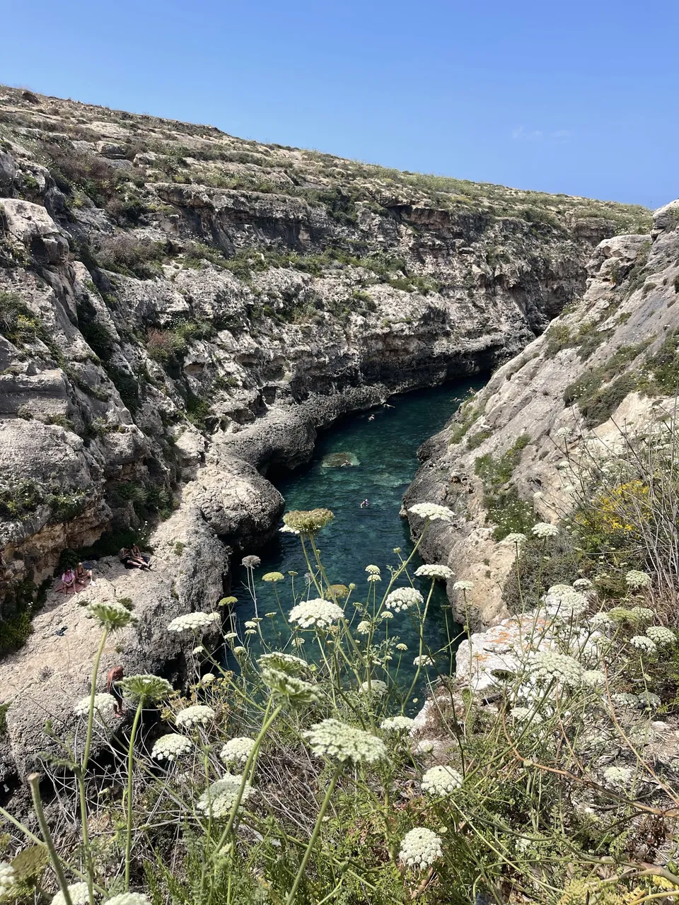
An easy path of about three kilometres leads from Mġarr harbour along the coast through green valleys to Hondoq bay. It suits arrival day or a quiet day. Shorter, at about 30 minutes, is the walk from Wied il-Għasri to Xwejni Bay with its rugged coastline and the salt pans nearby, see Marsalforn.
| Route | Length or time | Character |
|---|---|---|
| Coastal walk around Gozo | About 55 km, at least 5 days recommended | Demanding, multi-day |
| Xlendi to Sanap Cliffs | Out and back | Cliffs, heritage trail |
| Mġarr to Hondoq | About 3 km | Easy, green valleys |
| Wied il-Għasri to Xwejni | About 30 minutes | Short, rugged coast |
| Dwejra | Short paths | Mostly flat, family-friendly |
Dwejra and the west
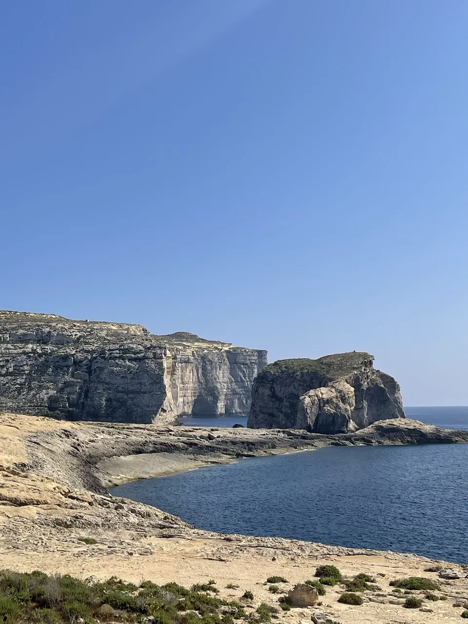
Around Dwejra there are short paths with big views of the Inland Sea, Fungus Rock and coast. The main path is short and mostly flat, doable even for children. The cliffs further north are more demanding. For sunset, a headlamp or torch is useful on the way back.
Best time to hike
Many sources name late autumn to spring as the best hiking season because it is not hot then. In practice we would add April, May and October when days are long enough. In high summer the heat is hard to bear during the day, so go early in the morning or late afternoon. In winter paths can be wet and slippery. More on the best time to visit.
Gear and safety
Sturdy shoes with good grip, a hat and more water than you think you need. There are no shops along many sections. Keep away from cliff edges, stay on the paths and heed signs, because parts of the coast are crumbly. Download the map offline, since reception is not good everywhere. Tell someone your route.
Guided instead of alone
If you want to skip route finding, book a guided hike. Guides know paths, viewpoints and the history of the places and adapt the pace to the group.
Updated: 4 October 2026. Prices, times and rules change, please check with the operator.